
SHAH ALAM, Nov 5 — New and existing development in urban and suburban areas must prioritise eco-friendly approaches to mitigate flood risks and enhance resilience against climate change.
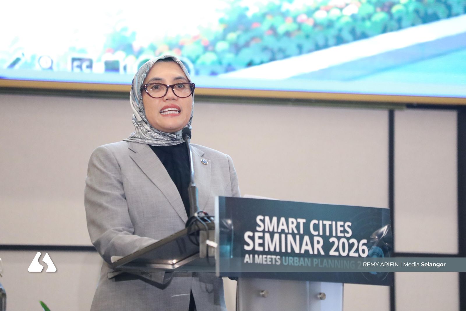
Malaysian Institute of Planners president and urban planning expert Mazrina Abdul Khalid said such approaches should emphasise green buffers and water infiltration areas, along with permeable construction materials, to slow rainwater flow into primary drainage systems.
These measures could help reduce overflow during heavy rainfall and improve the capacity of urban and suburban areas to adapt to the impacts of climate change.
Urban development should not rely too heavily on concrete surfaces, particularly in drains, as this causes rainwater to flow more rapidly into main drainage channels.
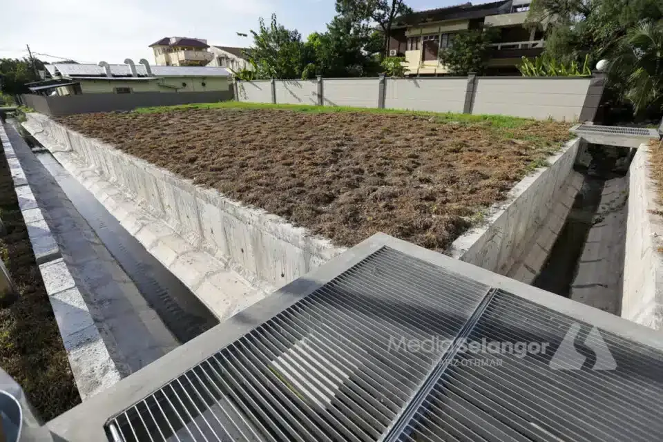
"If we look at our current monsoon drains, they are almost entirely concrete-based. We need to integrate designs that incorporate green elements, such as grass or water-absorbent materials. We have engineers who specialise in this area.
"We should avoid having exclusively concrete drains, as they accelerate water flow. By using a combination of grass and vegetation as buffers, we can help absorb and retain rainwater, thereby slowing its movement into the main drainage system," she told Media Selangor.
Mazrina added that this approach can be applied to roadsides by creating more space and green buffer zones, which would help reduce the volume of water flowing into primary drains.
"Roadsides should not consist entirely of concrete or immediate drainage; we need to increase the amount of green space alongside our roads.
“These green areas serve to temporarily hold water, thereby slowing down its flow before it enters larger drainage systems. They act as temporary storage; this is precisely what we need to increase,” she said.
Citing Putrajaya as an example, Mazrina said its wetlands and retention ponds function as initial catchment areas before water is channelled into larger ponds.
The city’s road design incorporates green elements such as green buffer zones and strips that absorb water and help regulate rainwater flow.
“These wetlands essentially function as a ‘sponge city’ model, where water is held temporarily before moving on to larger ponds,” she said.
However, Mazrina emphasised that this approach requires regular maintenance to ensure that the green areas and retention systems remain in good working condition.
She also suggested that abandoned sites or underutilised spaces could be converted into green areas specifically designed to retain water during heavy rainfall.
“I believe the Kuala Lumpur City Hall is also pursuing this initiative, transforming abandoned spaces and areas into green zones specifically intended to hold water during heavy downpours.
“By retaining water, this serves as one of the measures Kuala Lumpur has begun to implement; Putrajaya, for its part, has been doing this for a long time.
"If you are aware now, you will know that the flooding is less frequent compared to the past," Mazrina said.
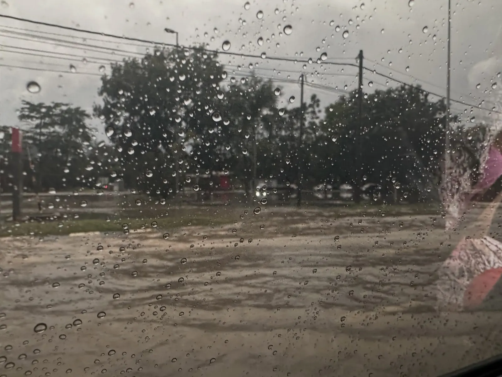
Previously, state executive councillor for public health and the environment Jamaliah Jamaluddin said the Selangor Irrigation and Drainage Department had identified 56 flood hotspots and 232 high-risk areas across the state, based on baseline data from last year.
Klang recorded the most hotspots, with 13 locations, including Kampung Rantau Panjang, Kampung Jalan Kebun, Taman Rashna, Taman Sri Muda, and Kampung Bukit Kapar.
Petaling also recorded 11 locations, followed by Gombak (10), Hulu Langat (9), Kuala Selangor (6), and Sepang (3), while Hulu Selangor and Kuala Langat each had two locations.