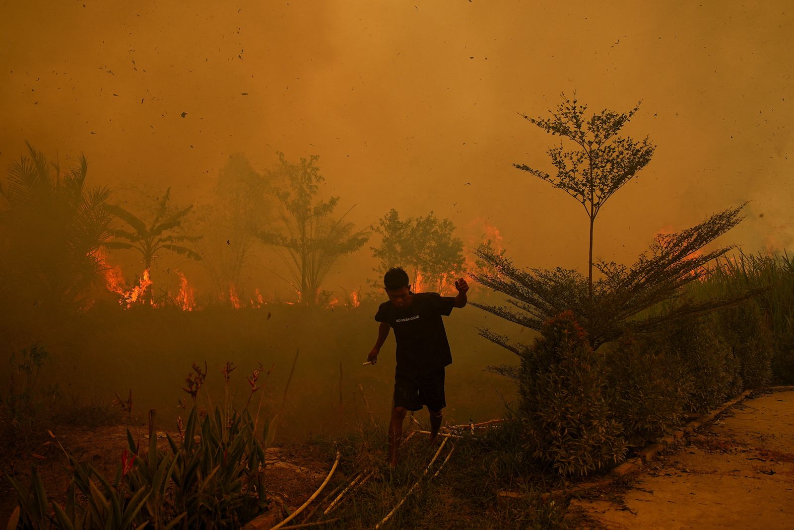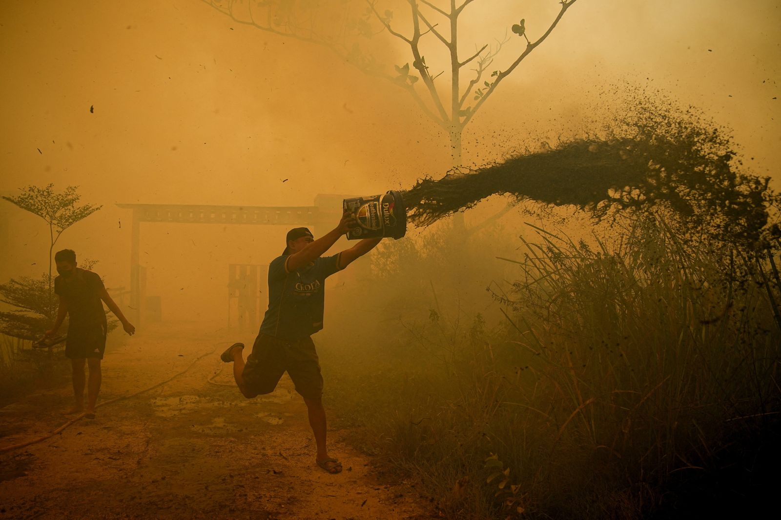
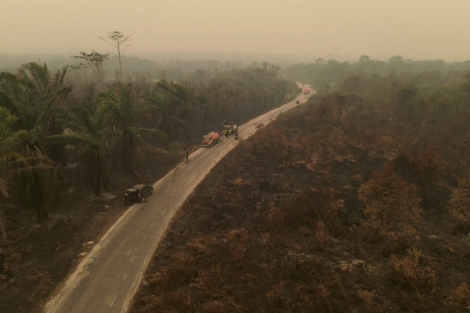
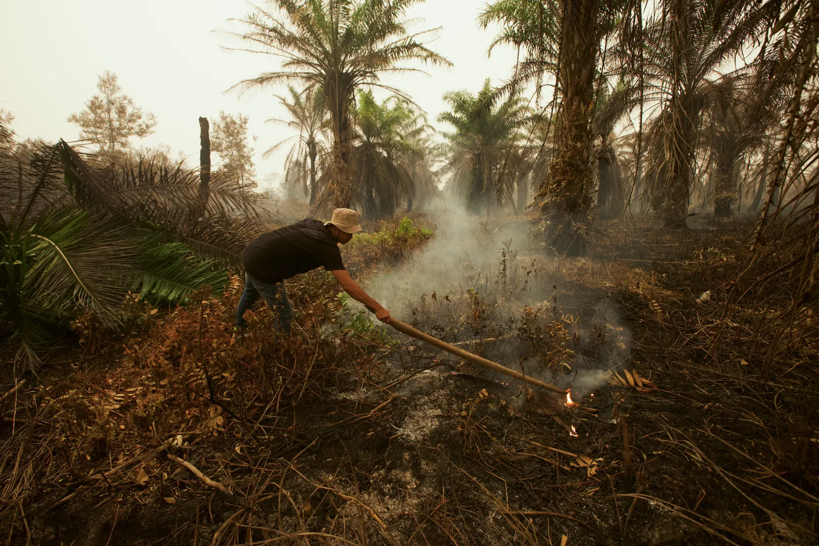
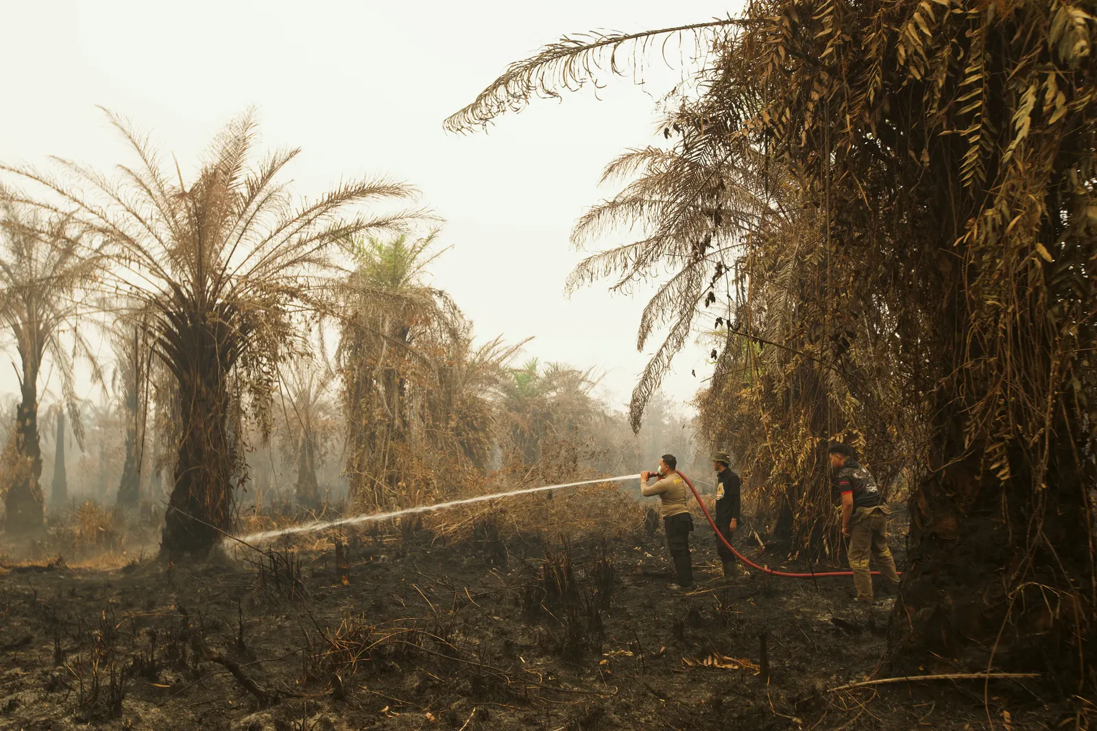
JAKARTA, Oct 20 — The size of land burned in Indonesia in September doubled from a month earlier, according to a deforestation monitor, as the country battles fierce wildfires that have caused air pollution, respiratory problems, and transboundary haze.
According to Nusantara Atlas satellite data, its cumulative burned area was 895,650 hectares in August, but that jumped to 1.92 million hectares by the end of September.
That surpassed the 1.39 million hectares cumulatively burned at the same point in 2019, a year when fires ultimately scorched 2.63 million hectares of land
The Nusantara Atlas fire map indicated that there were 1.15 million fire hotspots across the country as of today.
Indonesia has come under heavy criticism after months of wildfires that have caused respiratory issues for hundreds of thousands of people and spread thick haze into neighbouring Singapore, Malaysia, and Timor-Leste.
Indonesia has been undertaking weather modification operations in Sumatra and Kalimantan, with its cloud-seeding missions bringing rainfall and improved air quality in several fire hotspots.
The authorities said that West Kalimantan has mounted the largest such operation, with 107 flights in the past four weeks.
"We are using dry ice to disperse the smoke and allow sunlight to help trigger rain-cloud formation before conducting cloud-seeding operations with salt," presidential spokesman Prasetyo Hadi said in a statement.
The Indonesian Civil Aviation Authority has reported that since August 11, there have been 2,604 domestic flights affected by fires, more than 1,400 of those cancelled or postponed, with haze disrupting landings, take-offs and ground operations.