
SHAH ALAM, Oct 20 — Agencies performing cloud-seeding operations (CSO) must accurately choose areas, cloud conditions, and wind directions to ensure rain falls in targeted locations without causing flash floods, said a National Disaster Management Agency (NADMA) chief.
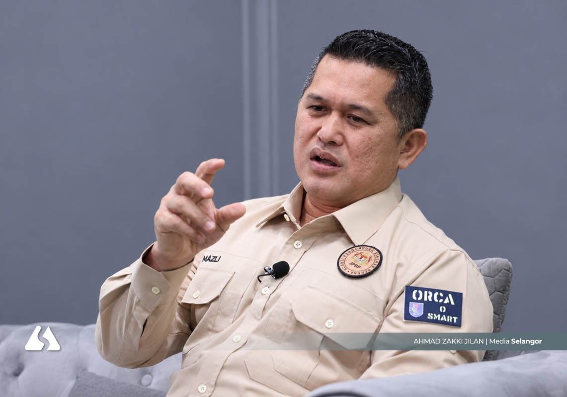
NADMA Operation Implementation Section director Datuk Mazli Mazlan said these assessments are based on technical data from the Meteorological Department (MetMalaysia), which analyses atmospheric conditions, cloud formation and wind directions.
“We have to see which areas have potential to produce rain. We may not be able to perform (CSO) throughout Selangor, but only in some areas.
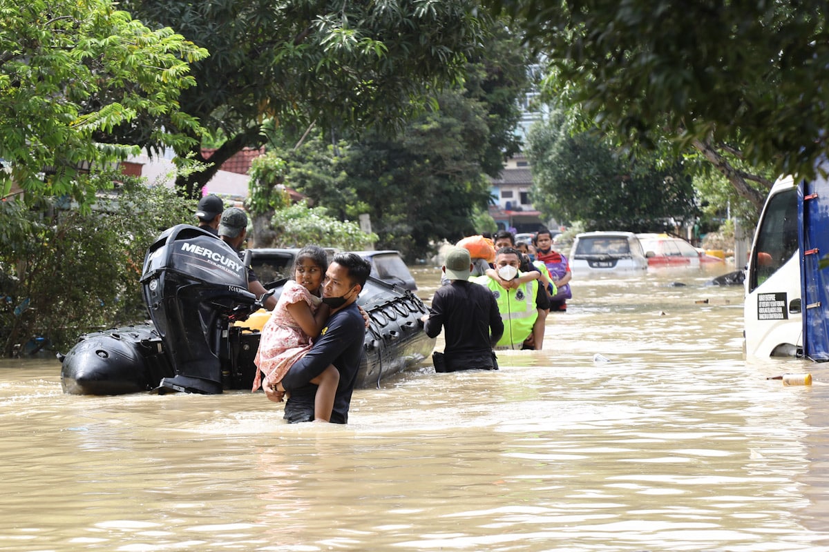
“We also look at wind directions so (seeded clouds) go to targeted areas, not to other areas and cause flash floods,” he said on Media Selangor’s Bicara Semasa segment.
He added that a CSO’s success isn’t just if rain is produced, but if the rain falls in targeted locations, especially over retention ponds and dams.
“If rain falls outside dam areas, we would have failed to raise water levels in retention areas. If it falls on non-retention areas, it would be a loss as the water would eventually flow to rivers and sea,” he said.
“If there aren’t any clouds, forcing rain is not possible. That’s why we need technical data, so when CSO is done, we succeed in producing the necessary rain and it falls on areas we want.”
Mazli said that since February, around 80 per cent of CSOs produced rain over targeted areas, while 18 CSOs were performed throughout the country, involving 55 flights nationwide.
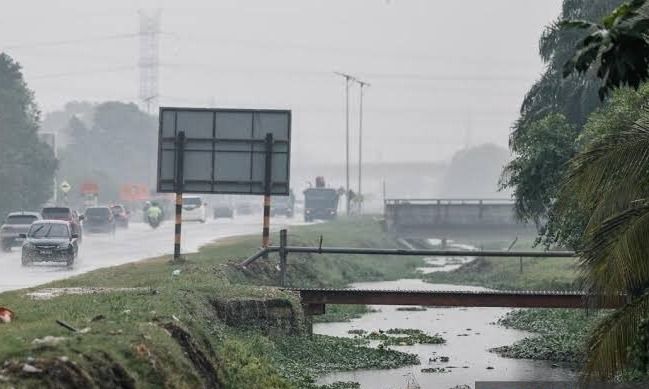
Besides raising dam and retention pond levels, CSOs are performed to mitigate the impact of hot and dry spells and haze. As of August, eight CSOs have been performed in Selangor to improve haze conditions.
Meanwhile, he added that CSOs could bring rain in 30 to 60 minutes depending on cloud conditions and sizes, with clouds that are big and active enough potentially producing rain in less time upon being seeded.
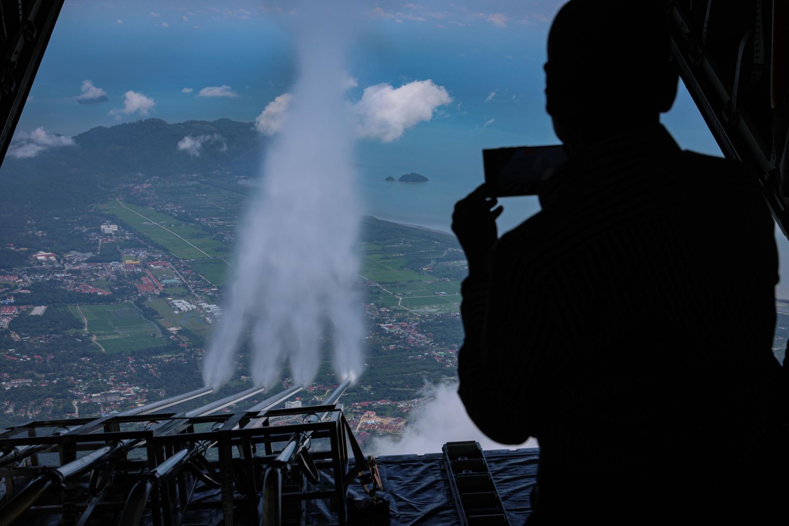
Mazli explained that CSOs need tower cumulus clouds as these big and tall formations can produce more rain. An experienced pilot would need to fly an aircraft into these clouds to spray a saline solution to activate existing water droplets in the clouds so they combine and become heavier, and eventually fall as rain.
On September 9, MetMalaysia said El Nino, set to start at the end of this year, could bring extreme hot and dry spells and increase temperatures up to 40ºC between January and May next year. It could also cause a heatwave from the start of the northeast monsoon in the same period.
MetMalaysia had also warned of higher risk of forest fires and haze due to hotter, drier weather.