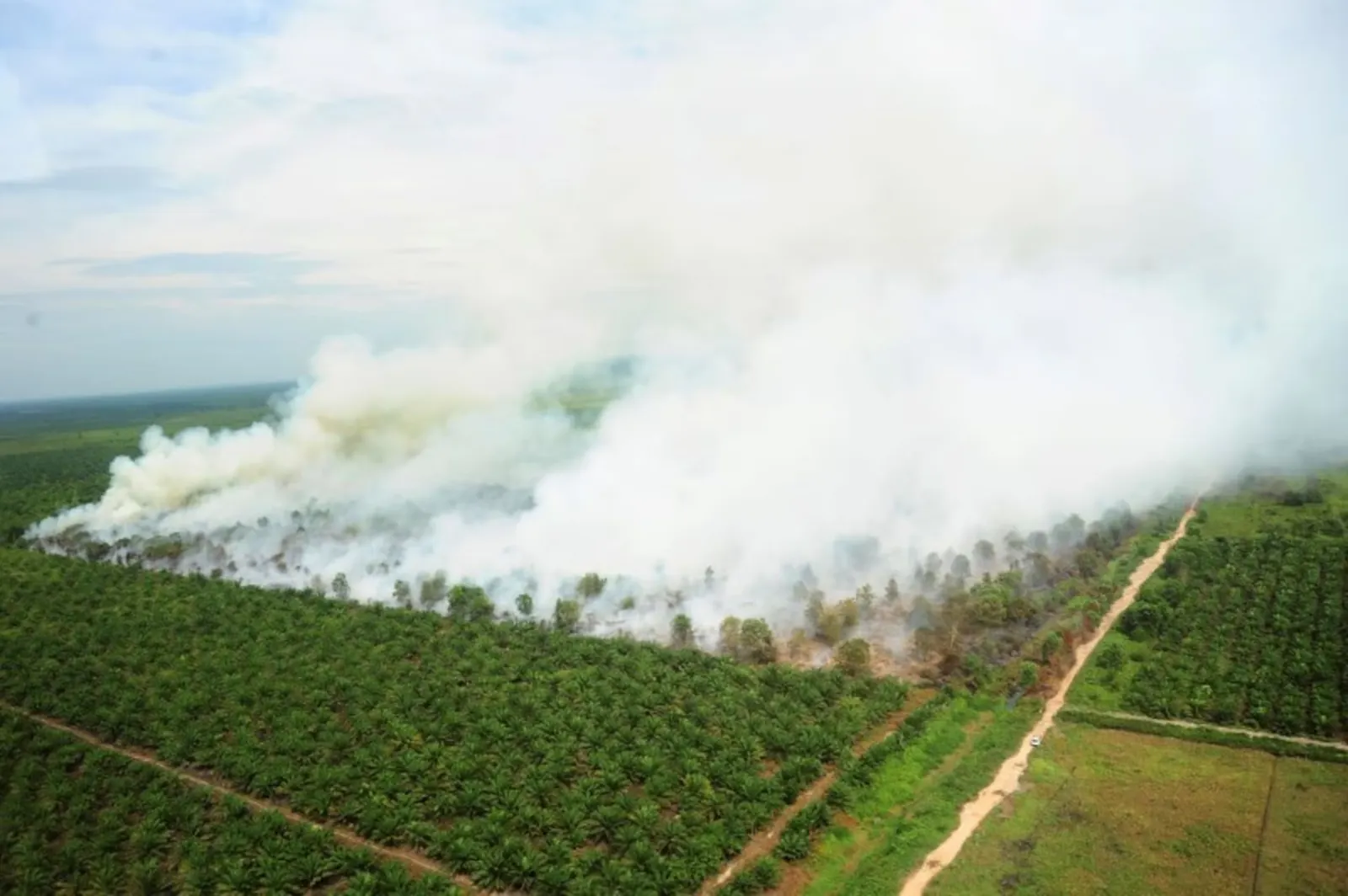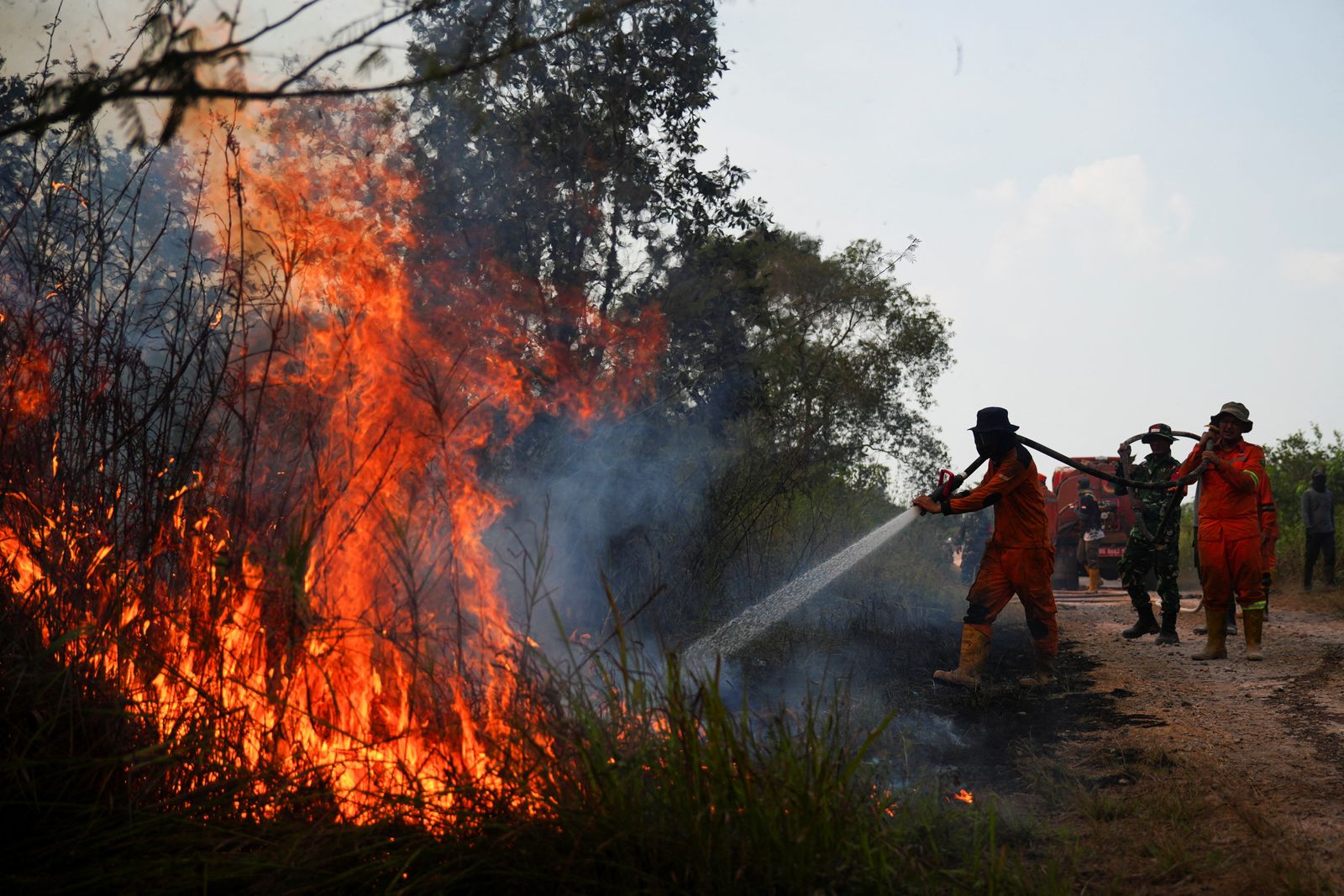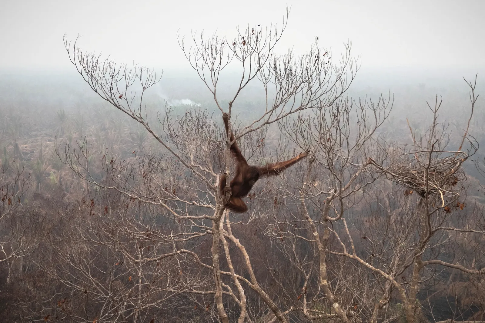

SHAH ALAM, Oct 15 — Forest fires in Kalimantan, Indonesia, are becoming increasingly alarming, with 57,081 hectares of land reportedly destroyed, an area equivalent to more than half the size of Perlis.
Environmental and occupational health expert Professor Dr Haliza Abdul Rahman said West Kalimantan recorded the largest affected area at 38,310 hectares, accounting for 67.1 per cent of the total.
She said data from the Indonesian Ministry of Forestry’s Sipongi system and the National Disaster Management Agency (BNPB) also showed that Central Kalimantan recorded 7,634 hectares of burned land, followed by South Kalimantan (3,387 hectares) and East Kalimantan (1,288 hectares).
Although the fires affected only 0.106 per cent of Kalimantan’s total geographical area, she said their impact on the regional environment was significant.
“Peatland fires can produce larger volumes of smoke that linger for longer periods because flames can spread beneath the ground, making them difficult to extinguish completely.
“Smoke from these open fires can also be carried by winds across borders, including into Malaysia and Singapore, depending on wind direction and speed, as well as prevailing atmospheric conditions,” she said, as reported by Berita Harian.
Haliza explained that this was among the factors contributing to fluctuations in Air Pollutant Index (API) readings, particularly when winds carried smoke towards populated areas.
Apart from affecting air quality, forest and peatland fires also release carbon dioxide and other pollutants that contribute to climate change.

Meanwhile, Climatology and Climate Change Expert Professor Dr Fredolin Tangang said hot and dry weather was expected to persist in Kalimantan and Sumatra, increasing the risk of further forest fires.
He said similar conditions could also trigger local fires, while hot and dry weather in Sabah and the northern peninsula was expected to continue until early next year.
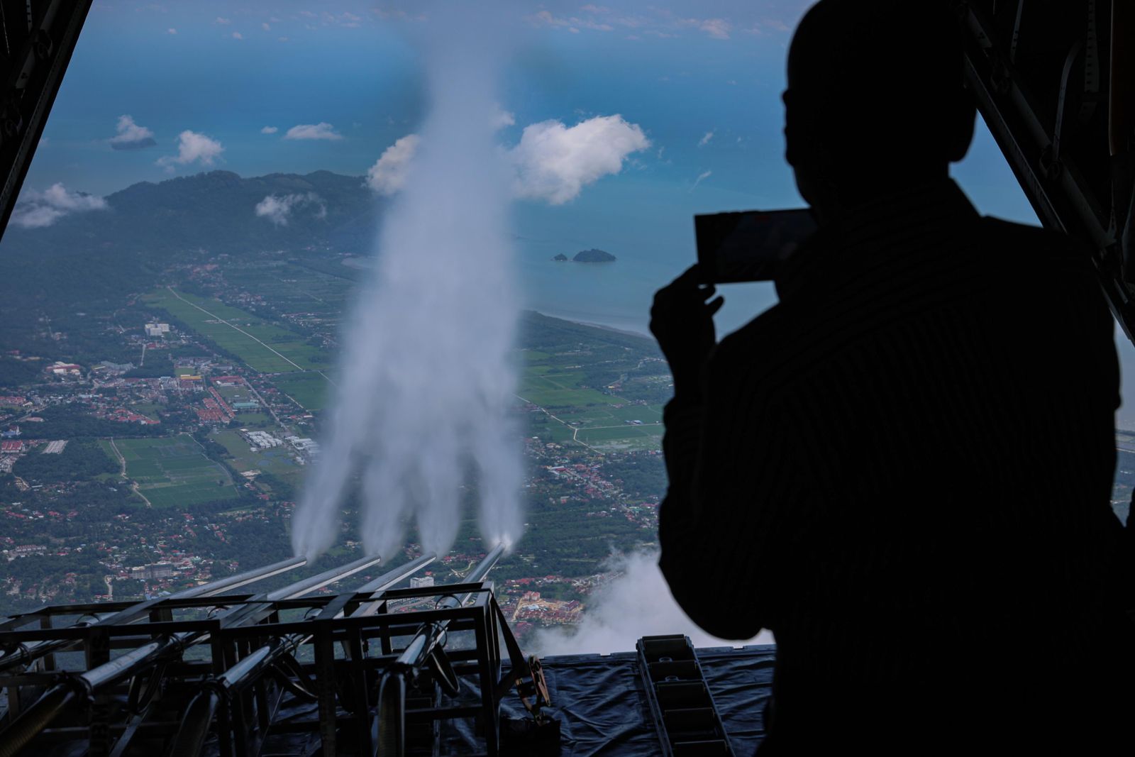
In a related development, 60 cloud-seeding flights had been conducted nationwide as of Monday to address dry weather conditions and the effects of haze.
Malaysian Meteorological Department (MetMalaysia) director-general Dr Mohd Hisham Mohd Anip said the operations recorded a success rate of more than 90 per cent in producing rainfall over targeted areas.
However, he clarified that the success rate referred to rainfall occurring after the operations rather than an increase in total rainfall, adding that the rain could not necessarily be attributed entirely to cloud seeding.
As of 8 am today, six areas in Selangor recorded unhealthy API readings, with two approaching the 200 mark.
Klang and Johan Setia recorded the highest readings at 192 each, followed by Shah Alam (180), Banting (170), Petaling Jaya (169) and Kuala Selangor (161).
Nationwide, 34 areas recorded unhealthy API levels, while another 34 registered moderate readings.