SHAH ALAM, April 10 — The Meteorological Department (MetMalaysia) is developing a location-based weather warning system to ensure information is delivered to the public more quickly and accurately.
MetMalaysia director-general Mohd Hisham Mohd Anip said alerts would be sent to users’ mobile phones in affected areas to give them enough time to react.
He added that the method is an improvement to existing channels like the MyCuaca app and MetMalaysia’s website and social media pages.
“MetMalaysia isn’t moving on its own. We have the National Disaster Management Agency (NADMA) which is always trying to improve disaster warning systems, and (we have) cooperations with telecommunication companies.
“If there is a disaster alert in one place, all mobile users in the area would receive early warnings. They will have enough time to act,” he said on Media Selangor’s Bicara Semasa programme.
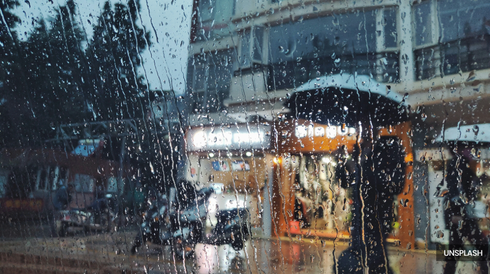
Hisham explained that besides digital technology, siren systems are also used, especially in areas prone to floods, tsunamis, and water surges.
“We have tsunami sirens under MetMalaysia, while the Irrigation and Drainage Department (JPS) has river level sirens. Landslide sirens are under the Minerals and Geosciences Department (JMG), and sirens in recreational areas are under the Forestry Department (of Peninsular Malaysia).
“In interior areas, the government is expanding internet coverage. I’m sure people in the interior also have mobile phones, so they would also receive early disaster alerts,” he said.
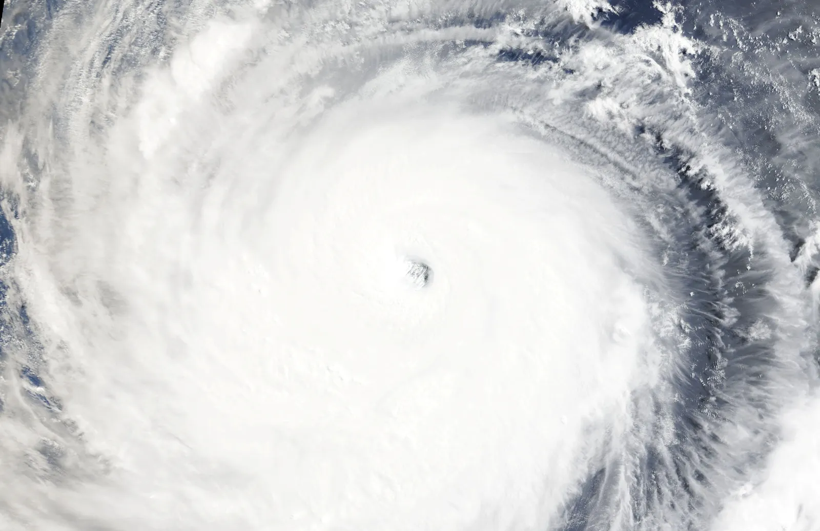
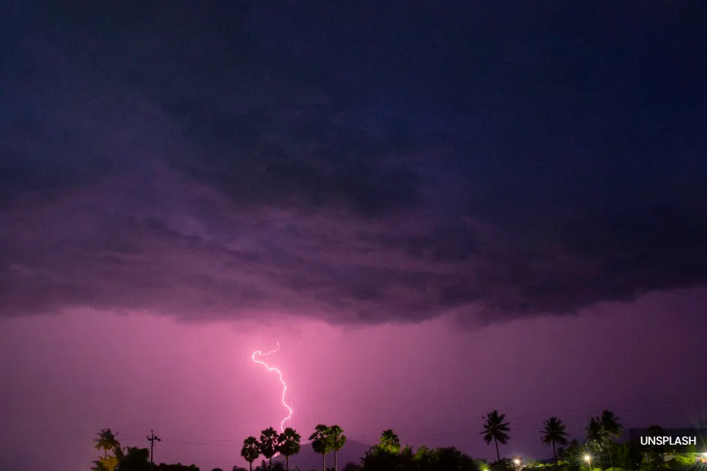
He added that various agencies are involved to ensure early warnings are delivered effectively, especially amid the current increasingly inclement weather.
“Quick, accurate information delivery can save lives and property,” he said, and advised people to obtain updates from official sources to prevent confusion.
Hisham said the MyCuaca app and MetMalaysia’s official pages helps many people better plan their daily activities.