
By Danial Dzulkifly
SHAH ALAM, Nov 26 — Selangor is enhancing its flood management strategy by mapping flood-prone areas down to the local council level, said state executive councillor for public infrastructure and agriculture Izham Hashim.
He said while floods are typically reported by the Selangor Irrigation and Drainage Department (JPS) and district offices, the state is now including data from local councils to gain a more comprehensive understanding of flood risks and its causation.
“This includes mapping and managing drains under the purview of local councils. Some flash flood (hotspots) are linked to internal drainage systems managed by these authorities,” Izham said during the question-and-answer session at the Selangor State Legislative Assembly sitting here today.
Izham was responding to a question from Sementa assemblyman Noor Najhan Mohamad Salleh about why flooding in his constituency is unresolved, and main mitigation projects planned along Sungai Klang.
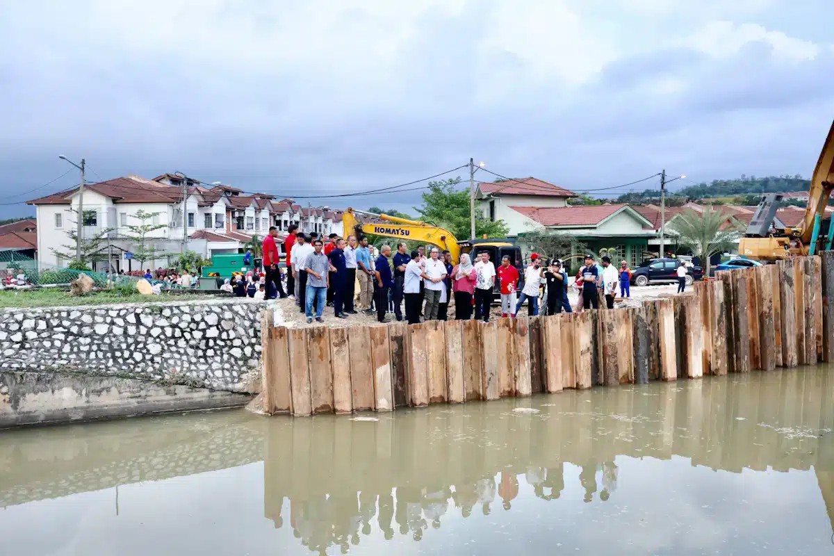
Earlier, Izham said the state and the federal governments have allocated RM130 million and RM300 million, respectively, to the Selangor JPS to conduct two main packages of flood mitigation projects along Sungai Klang next year.
He added that out of 45 flood mitigation projects in the state, 11 are located along Sungai Klang.