

By Media Selangor Team
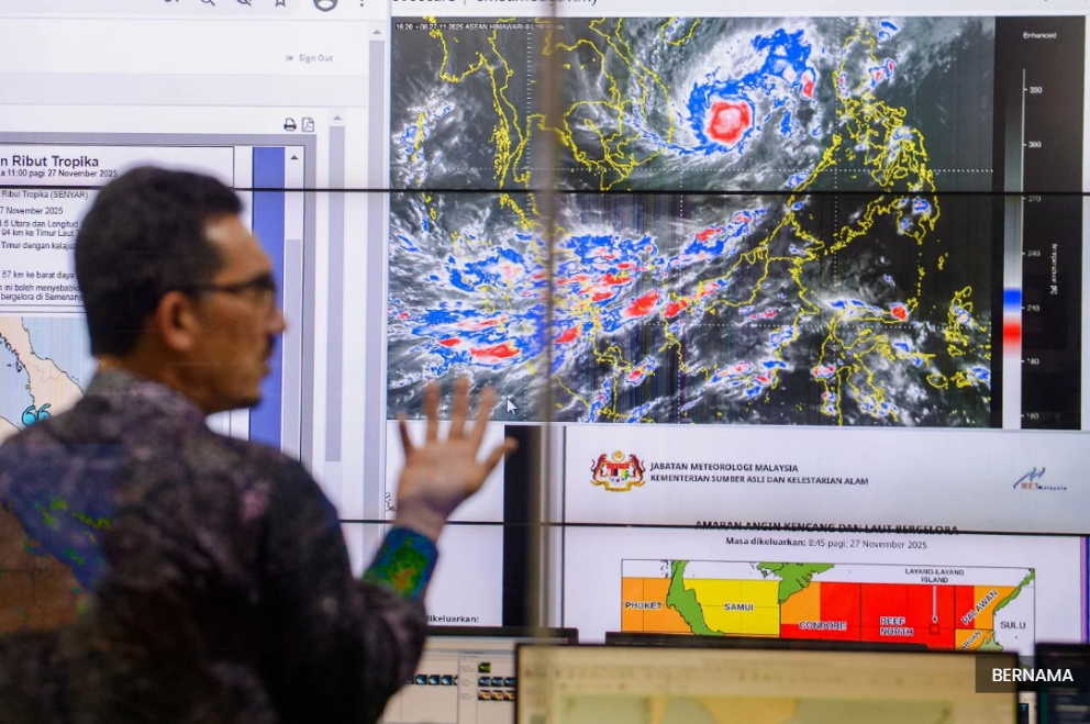
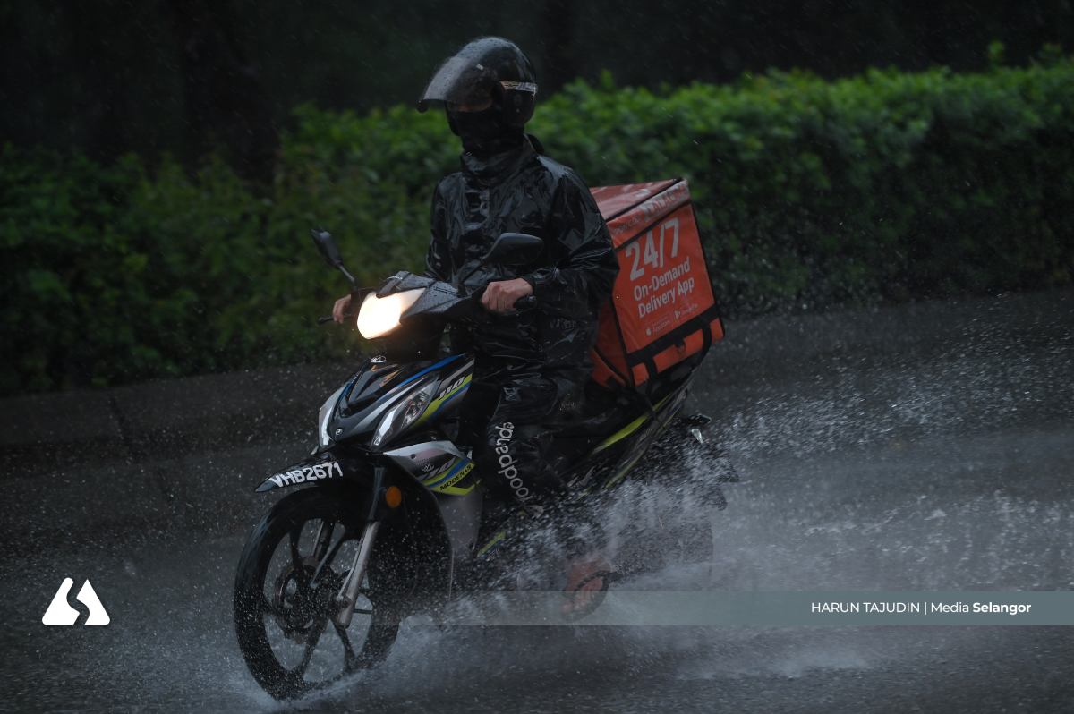
SHAH ALAM, Nov 28 — Tropical storm Senyar has weakened into a low-pressure weather system, but the Meteorological Department (MetMalaysia) warns that heavy rain, strong winds and rough seas will continue across parts of Peninsular Malaysia.
Its director-general Mohd Hisham Mohd Anip said the system, which made landfall on the shores of Selangor and Negeri Sembilan late last night, is now located over central Peninsular Malaysia and is expected to continue moving eastward towards the South China Sea.
“Based on MetMalaysia’s weather radar observations, Senyar made landfall around midnight along the coastal area between the Selangor-Negeri Sembilan border,” he said in a statement, today.
Hisham stated that although the storm has lost strength, cloud and rain formation remain active, which could trigger continuous heavy rainfall, strong winds and rough seas conditions, especially in Pahang and Terengganu.
“This weather pattern is expected to continue until November 29,” he said, adding that updates will be issued if there are significant changes.
MetMalaysia urged the public to remain alert and prepared by staying up-to-date with the latest weather information, forecasts and warnings via its official website, the myCuaca mobile app, social media platforms, and its hotline at 1-300-22-1638.
Yesterday, MetMalaysia issued a warning for tropical storm Senyar, which has been detected north of Sumatra and is located about 102km southwest of Lumut, Perak.
The phenomenon marks the first time a tropical storm has formed over the Malacca Strait, drawing the attention of researchers and meteorologists from around the world.
As of yesterday evening, the storm reached maximum wind speeds of 50kph, with more than 200mm of rain expected over 24 hours.